Multichannel marketing and communications professional with a proven ability to deliver award-winning campaigns that inspire action from difficult to reach and discerning audiences.
• I’ve exceeded benchmarks time and again across programmatic and social media buys.
• Empowered sales teams with tightly integrated lead funnels and lifecycle management solutions leveraging Salesforce.com.
• Know how to craft a compelling narrative and have won over a dozen video production awards in the past 5 years.
• Served on both the interactive agency and client side, and I am a highly capable sparring partner for any marketing professional whether B2B or B2C.
Most recently, I helped the Georgia Department of Economic Development attract new business both domestically and in 12 strategic markets around the globe. In the 7 years I ran Georgia’s global marketing efforts, we were selected as the #1 State for Business by Site Selection magazine, and its database of site consultants, for an unprecedented 7 years in a row. Jobs and investment grew steadily YOY due to a healthy pipeline of prospects. In addition, the Department’s commitment to marketing over that same period of time grew more than 300% because the ROI was clear and measurable. I also managed a team of 5 and 4 agency relationships for interactive, pr, traditional and video production.
My online marketing career started with the direction of email marketing and web campaigns for Mandalay Resort Group, resulting in several awards for creative execution and exceptional return on investment. This caught the attention of the interactive marketing company, Twelve Horses where I directed their corporate marketing, advertising, and public relations efforts, as well as provided strategic consulting for travel/tourism clients such as Park City, Heavenly Mountain Resort, and America’s Adventure Place.
Leveraging my experience with media and multi-channel marketing technology, I went on to lead the marketing and branding initiatives for SAXOTECH (now NEWSCYCLE), a global provider of content management platforms, circulation systems and advertising solutions for the media industry.
I’ve worked in sales, marketing, advertising and public relations for a variety of other companies, including Switchback PR & Marketing, Stoel Rives LLP, Preferred Capital Corporation and Patagonia. I have an MBA with a specialization in Marketing and a BA from Clemson University.
Side hustle: My photography has appeared in countless ads, brochures, and marketing campaigns.
I was recently contacted by Turner Publishing with the offer to receive a complimentary copy of “Historic Photos of Reno” by Donnelyn Curtis. All they asked of me in return was that I provide an honest review of the book here on my website. I replied that I would be happy to do so, and the book appeared at my doorstep just a few days ago.
As an amateur photographer and writer, a graduate of the University of Nevada, and a former resident of Reno, I assumed I would find great pleasure in combing through the composition of someone who has made a career out of compiling and organizing historical information about the area. I was not disappointed.
Donnelyn Curtis is the Director of Research Collection & Services and head of Special Collections at the University of Nevada, Reno Libraries, where she has been a librarian since 1998. She embarked upon the painstaking task of compiling some of the most poignant and compelling black and white photographs, complete with text and captions, that Reno historians have meticulously gathered over the years. The combination of context and imagery provides a window into the raw soul of a city that has weathered a a rich and sorted past.
The images, text and captions are organized in distinct periods:
Hub of the Mining Boom (1868-1909)
Emerging Playground (1910 – 1949)
New Approaches to Economic Development (1930-1949)
Growing and Thriving (1950-1979)
The “Biggest Little City in the World” has always taken an unconventional approach. Long before Las Vegas, Reno, Nevada was referred to as “sin city.” Gambling, prize-fighting, prostitution, and divorce were prevalent. There was a certain lawlessness that attracted people to Reno. Adversely, since Reno’s beginning a strong, moral community of men and women have carved out their lives against the beautiful backdrop of the Sierra Nevada Mountains, and the Truckee River which rolls through the center of town. These lawless and law-abiding factions contributed to a menagerie of people and pursuits that have defined the course of Reno’s creation and expansion. There are so many facets to Reno, Nevada, and “Historic Photos of Reno” brings that to light.
It is eery, exciting, and educational to follow your way through the pages and see the history of the city of Reno, Nevada unfold. Curtis digs up forgotten people and places that stare up at you from the pages and remind you all things change and human time is fleeting. The photographs project personality and feeling that speaks a thousand words. You will look into the eyes of both ordinary and exceptional individuals that contributed to the uniqueness of Reno’s identity. You will learn for whom the city was named after, how it got its start, and what carried it forward into the modern age.
What is it about us that loves to peer into the past? I for one saw so many similarities to where Reno was and is now. Entrepreneurs and motivated minds working hard to reinvent the city and carry it forward into the future. A relentless desire for a new and improved identity, and yet, a strong connection to a proud history and the land it was built on.
Curtis will be doing a book signing at signing at the Meadow Wood Court Barnes & Noble on June 14thfrom 2-4pm. Get out and pick up a signed copy. It is the good storytellers who give us greater context.
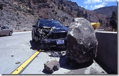
The rash of recent earthquakes in Reno, Nevada reminds me of my own experience with this particular fault line. About three years ago, I was driving my brand new Subaru Outback up the canyon of Highway I-80 towards Truckee, California to go whitewater kayaking when an earthquake struck. I was moving along at about 70 mph just past the Floriston exit when a large boulder arced off of the steep hillside to my right, struck the adjoining lane, and quickly began tumbling towards me. It looked like something out of a cartoon, and my disbelief was only cut short by my sudden realization that I was going to die. In a split second I slammed on the brakes and immediately impacted with the boulder.
Anyone that has ever been in an accident knows when an air bag deploys it can be a lot like getting punched in the face. As I began to collect myself and determine whether I was severely injured or not my first thought was – I’m going to be hit from behind! Fortunately, the other cars behind me had been able to stop in time. The inside of the car smelled strongly of gun powder, the windshield was smashed, and the entire passenger side was caved in.
I got out of the car half expecting to not be able to stand, or for blood to suddenly start spurting forth from some area of my body, but I was fine. I nervously scanned the hillside wondering if any other boulders might suddenly decide to dislodge themselves but none came. I took note that my kayak was no longer on top of the car, not that I particularly cared at that moment, but my eyes soon fell upon it on the other side of the road. It had shot off the top of the car, careened across the oncoming lanes of traffic, and somehow managed not to cause another accident.
The police soon arrived, and the first comment I received was, “Boy, you are lucky to be alive.” The second thing they told me was that there had been an earthquake of a magnitude 5.0. I never felt it.
The section of I-80 between Reno and Truckee is a dangerous one for many reasons. As the area continues to experience more tremors, and even faces a potentially much larger earthquake, keep this story in mind if you are driving this section of road. There are a lot of exposed hillsides containing countless boulders that are precipitously placed for a quick fall, and trust me, you don’t want to hit one.
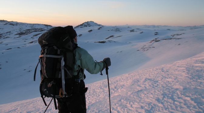
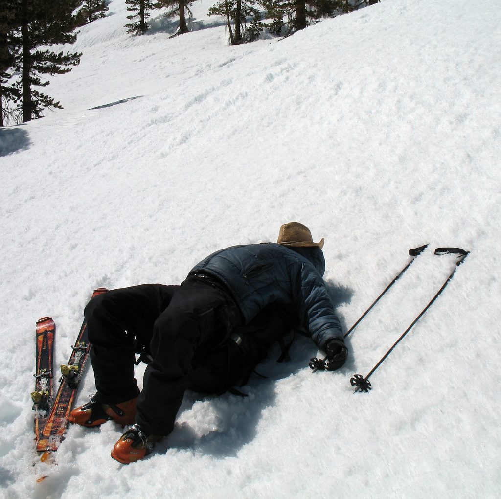
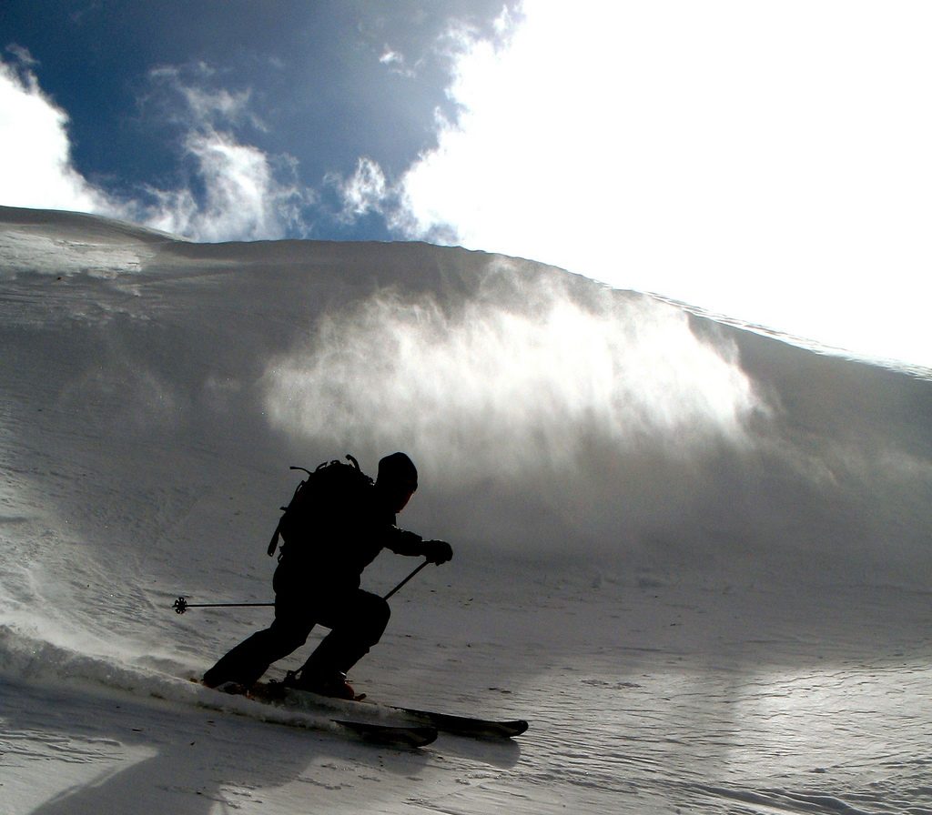
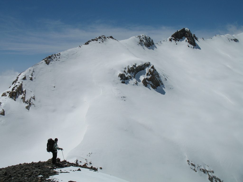
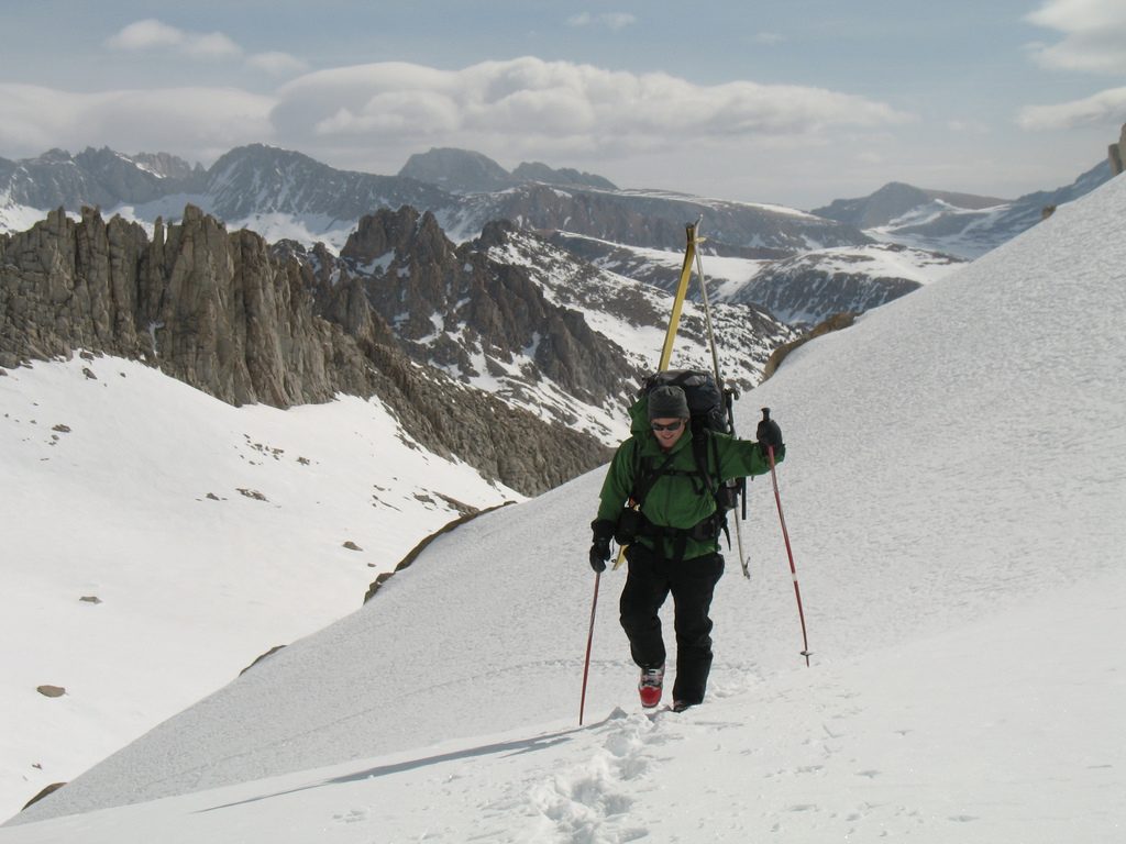
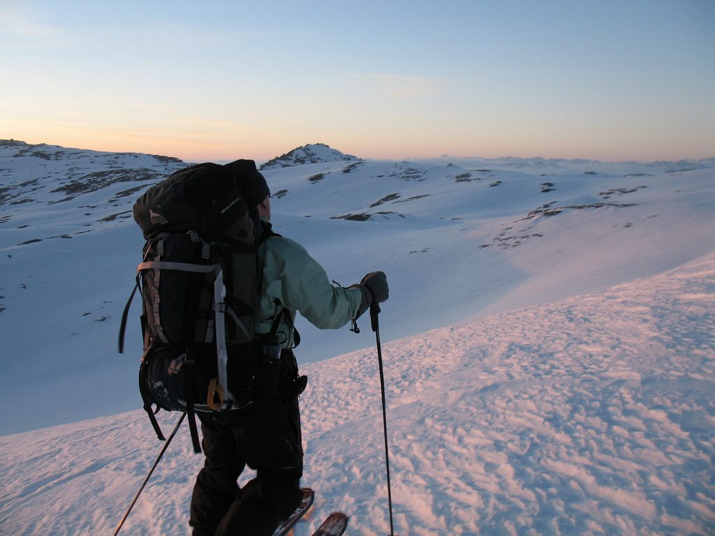
The High Sierra Ski Tour is often described as one of the most spectacular ski tours in the world. It is certainly an awe-inspiring journey through California’s Sierra Nevada Mountains and is composed of towering peaks, incredible vistas, and vast terrain. You will encounter steep traverses, long ski descents, and various mountaineering challenges one would expect in remote, snow-covered mountains at elevations upwards of 13,000 feet.
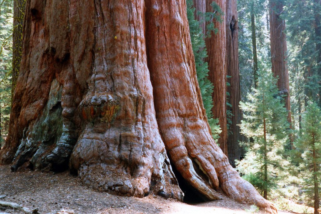
This undulating, high-altitude journey starts outside of Independence, California at Symmes Creek, follows the boundary line between Kings Canyon and Sequoia National Park, and culminates 45+ miles later in Wolverton and the giant sequoias. Before you finish you will have crossed at least 8 mountain passes with half of them serving up steep ascents, and half of those potentially requiring ice axes and even crampons if it is icy.
Most guide services rate the tour as Class III-IV, and the preferred length of time is 5 nights and 6 days. However, keep in mind that ratings and time can be elevated because of difficult conditions such as blinding snow, bulletproof ice, or if you are simply not prepared to carry a heavy pack over the course of several days at high altitude. Furthermore, if you are not familiar with the route, and relying on a topographic map to guide you, this can also make the trip more difficult.
Coordinating the shuttle is no easy exercise either. We commandeered a ride from Lake Tahoe south on Highway 395 to Independence, and then scheduled a shuttle pickup through Sequoia Tours to be picked up at the Wolverton trailhead and driven to Visalia, California. As an aside, we also shipped a box of clean clothes and toiletries to the tour company, and managed to work out a shower in the Park. Larger groups can schedule a flight out of Visalia to take them across the Sierras either before or after their trip, and it runs about $1400 for an 8-passenger plane.
This is by no means meant to serve as a complete guide. Before attempting this trip purchase John Moynier’s, Backcountry Skiing: California’s High Sierra, as well as the appropriate topographic maps. A permit is also required.
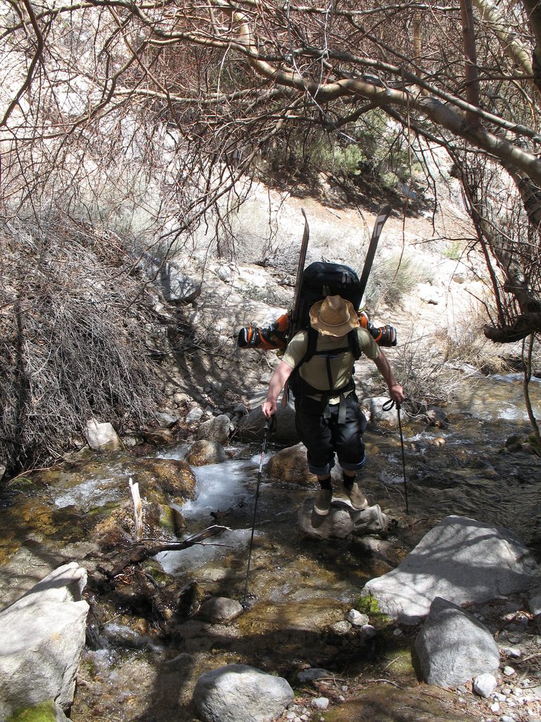
Starting at the base of the Eastern Sierras, the trail meanders quickly up through the sagebrush along the creek bed and soon enters the John Muir Wilderness Area. It is possible to see Big Horn Sheep, for their meandering trails are evident in several places. It is quite a push to make it in the first day, approximately 5,000 vertical feet, but the recommended place to reach for the first night is Anvil Camp. That way you are poised to tackle Shepherd’s Pass the next morning, and it sets you up to cross the remaining passes during the most ideal conditions before the snow has the potential to get icy.
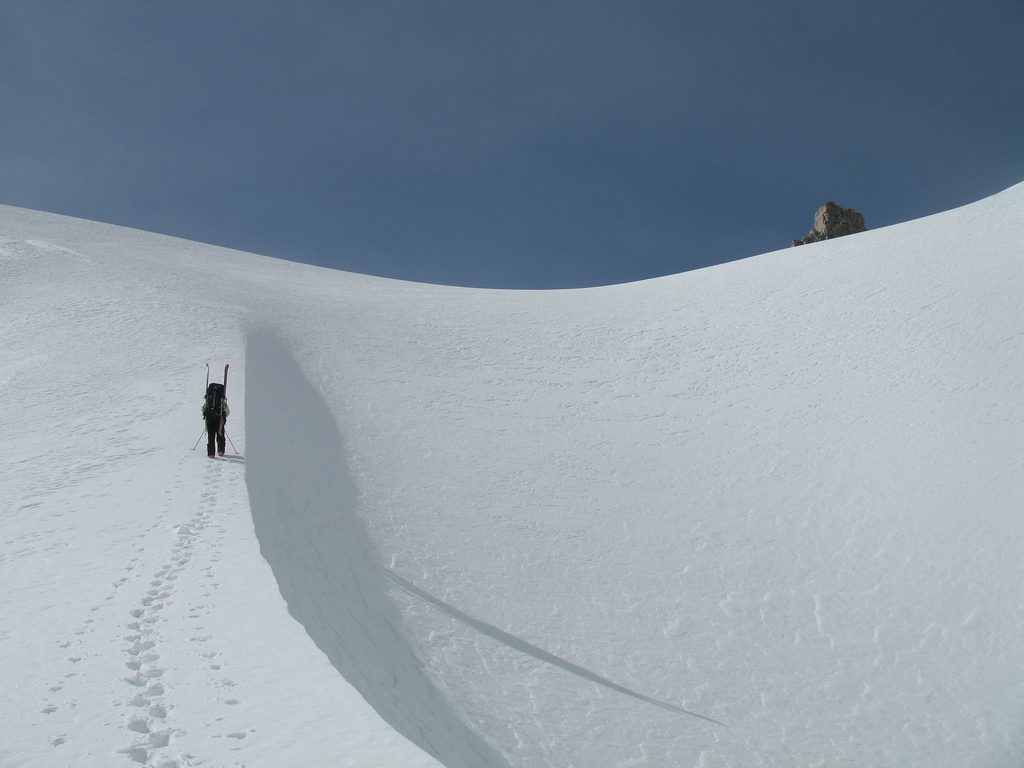
Shepherd’s Pass is quite steep and will no doubt require boot-packing to get to the top. If it has recently snowed or sun-affected you should be wary of avalanche danger. From the top you will ski a gentle, westerly descent until you are skinning again and making your way towards Milestone Peak.
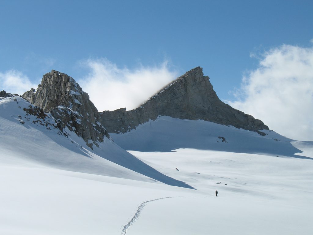
Milestone Basin is absolutely beautiful, and Milestone Peak is unmistakable with its chimney tower. The key thing to know about crossing Milestone Peak is that you will proceed left of the summit even though it appears as if you want to go right. There is some exposure here, for you will be crossing above a cliff, so it is a good time to make use of that ice axe you’ve been carrying.
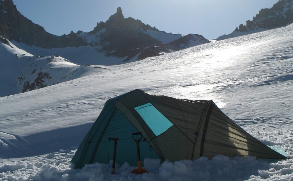
From the top you will ski down Milestone Bowl towards Colby Pass. Here is where we made the mistake of going too far and dropping down to the Kern River. Make sure you head right before the last drop down through the trees to the river basin. For us, this is where the weather turned and it began to snow. Visibility became poor, and it was definitely a challenge navigating the confusing terrain. That night we set the tent up in the snow and wind, but by morning it was clear and beautiful with several inches of fresh snow on the ground.
After you cross Colby Pass your next challenge will be the long traverse around and up over Triple Divide Pass. The Pass is further than you think, so continue to the far end past the prominent peak to your right. You’ll know you are headed in the right direction because the juncture is aptly named. The three divides that separate the Kaweah, Kings, and Kern Rivers come together at this point, and it is impressive to see with breathtaking views all around.
It is at this point that you ski down towards the Glacial Divide. The beauty of this place is inexplicable, and the size and distances of the mountains are enormous. Traverse across the Divide towards the obvious Fin Peak, and cross over Fin Pass.
Things get a little confusing here and the guide book nor the topographic map are all together helpful. After skiing down it seems natural to head immediately right with Hamilton Dome on your left, but you actually traverse around the left side of the dome and its neighboring peak, cross over Coppermine Pass, then the Horn, and into the Tablelands.
The Tablelands tempt you to ski down into the midst of them, but it is best to stay high and traverse around them. I am quite sure there are other ways to proceed through this chaotic jumble of rock outcroppings and snow, but I am not aware of the route. Eventually you will reach Pear Lake.
From Pear Lake it is a fun descent down past the Pearl Lake Hut. It is possible to reserve the Hut during the winter, and it comes complete with a pellet stove, bunks, and tons of great skiing and beautiful scenery all around you.
From the Hut you are faced with the last ascent of the trip called, The Hump, but before you know it you are meandering down through the woods towards Wolverton.
Depending on the time of year (Trip date: April 5-10, 2008), you very well may discover thin to non-existent snow for the first 4,000 feet. Unless you really enjoy wearing your ski boots, you might consider taking an old pair of tennis shoes to wear for the initial climb up towards Shepherd’s Pass. The most responsible course of action would be to pack them all the way to the end; however, some skiers do opt to leave their shoes at Anvil Camp in hopes that someone coming from the other direction will pack them out and throw them away.
The ski route is often called the High Sahara Route because of the lack of liquid H20. Nevertheless, it is important to stay hydrated. Whenever you pause for a break take time to mix snow in with the water in your water bottle. If the sun is out and air relatively warm, do your best to melt snow in your water bottle on the outside of your pack. Keep your water bottle in your sleeping bag at night.
In case you have not heard, there is a very heated issue erupting here in Nevada around the protection of wild horses. The Department of Agriculture has plans to round up hundreds of wild horses for slaughter because they claim the horses are starving and do not have enough land. What is perplexing is that no one has witnessed any starving horses, and instead only seen healthy horses grazing in plentiful pastures. And regardless if there was a population problem, surely more humane practices could be implemented like relocation and sterilization of some of the herd, which have been intermittently used.
Celebrities such as Willie Nelson and Snoop Dogg have done radio spots urging people to call Governor Jim Gibbons, (775) 684-5670.
Protestors gathered outside the Nevada Capitol yesterday holding brooms and plungers emphasizing their desire to see the Department of Agriculture “cleaned up.” Media outlets all over the West have picked up the story including:
Also, you might want to check out what this local Nevada blogger has to say. Clearly, this is an important issue to many people and rightfully so. The horse is an integral part of this Nation’s history and an iconic symbol of the West. And might I add, GREAT FOR TOURISM IN NEVADA.
You might remember a blog post we did back in November 2006 regarding the American Horse Act. This issue hits close to home. You don’t come to work everyday for a company called, Twelve Horses, and not on occasion think about why you built your brand on that name.
Spring in Lake Tahoe is one of my favorite seasons. Snow still blankets the mountains of the Sierras, and the lower elevation rivers rise as the days grow longer and warmer. It is this time of year that I find myself having to make the difficult decision of skiing vs kayaking.
As I prepare for an upcoming California road trip, I can tell you that the gear I am planning on taking is getting a bit overwhelming. Just thinking about trying to fit it all into a little biodiesel powered VW TDI has me wondering if I need a semi-truck.
No matter what the weather dictates, I inevitably find myself catching up on whitewater community sites like boof.com and americanwhitewater.org, as well as looking through old kayaking photos to remind myself that I still know how to boat. Here is a little slideshow of some kayaking” I have accumulated from years past. Can you tell which ones I took with an old 35mm camera and slide film and then scanned?
 I was recently contacted by Turner Publishing with the offer to receive a complimentary copy of “Historic Photos of Reno” by Donnelyn Curtis. All they asked of me in return was that I provide an honest review of the book here on my website. I replied that I would be happy to do so, and the book appeared at my doorstep just a few days ago.