Tag Archives: geology

Mount Si Trail Hike

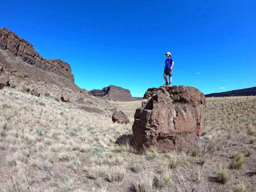
After almost seven years in Seattle, I finally got up the gumption to hike Mount Si. It was not the four miles of vertical gain that dissuaded me, nor the call of more remote and pristine hikes. Rather, it has simply been the mountain’s extreme popularity given its close proximity to Seattle, Bellevue, Issaquah, and beyond.

Striking out on a warm and hazy Tuesday afternoon in mid May, I found the large parking lot about half full. It still felt like a lot of people to me, but throughout the hike I found enough spacing between those I encountered that the trail felt surprisingly peaceful overall. I do not know whether it is because the trail ranks so highly in searches for day hikes near Seattle, or because the outdoors have become a playground for so many new recruits, but proper etiquette dictates that hikers going uphill have the right of way. Let’s get it right, people.

Trail Highlights

I set a pretty good pace and reached the top in exactly two hours. The highlights included moss covered maples and ferns mixed with intermittent stands of large hemlocks at the beginning of the trail, a grove of 350 year old Douglas firs in the middle section, and of course the summit itself, with views of Mount Rainier, Snoqualmie Pass, Seattle, Bellevue, and the Middle Fork Snoqualmie meandering through the North Bend Valley below.

The Haystack

Do not be fooled by the false summit. The true top is the Haystack farther up the hill. The best approach is to continue along the trail and wrap around the back side of the Haystack, where you will find a steep Class III ascent. This route is not for everyone, so use your best judgment. People have fallen here and suffered serious injuries, including at least one fatality.

Trail Map

Once on top, it is tempting to descend and continue all the way out to Mount Teneriffe, then return via the Mount Teneriffe Trail, Talus Loop Trail, and Mount Si Trail. But I knew my winter feet were not ready for that distance, and I had not gotten an early enough start.

Geology

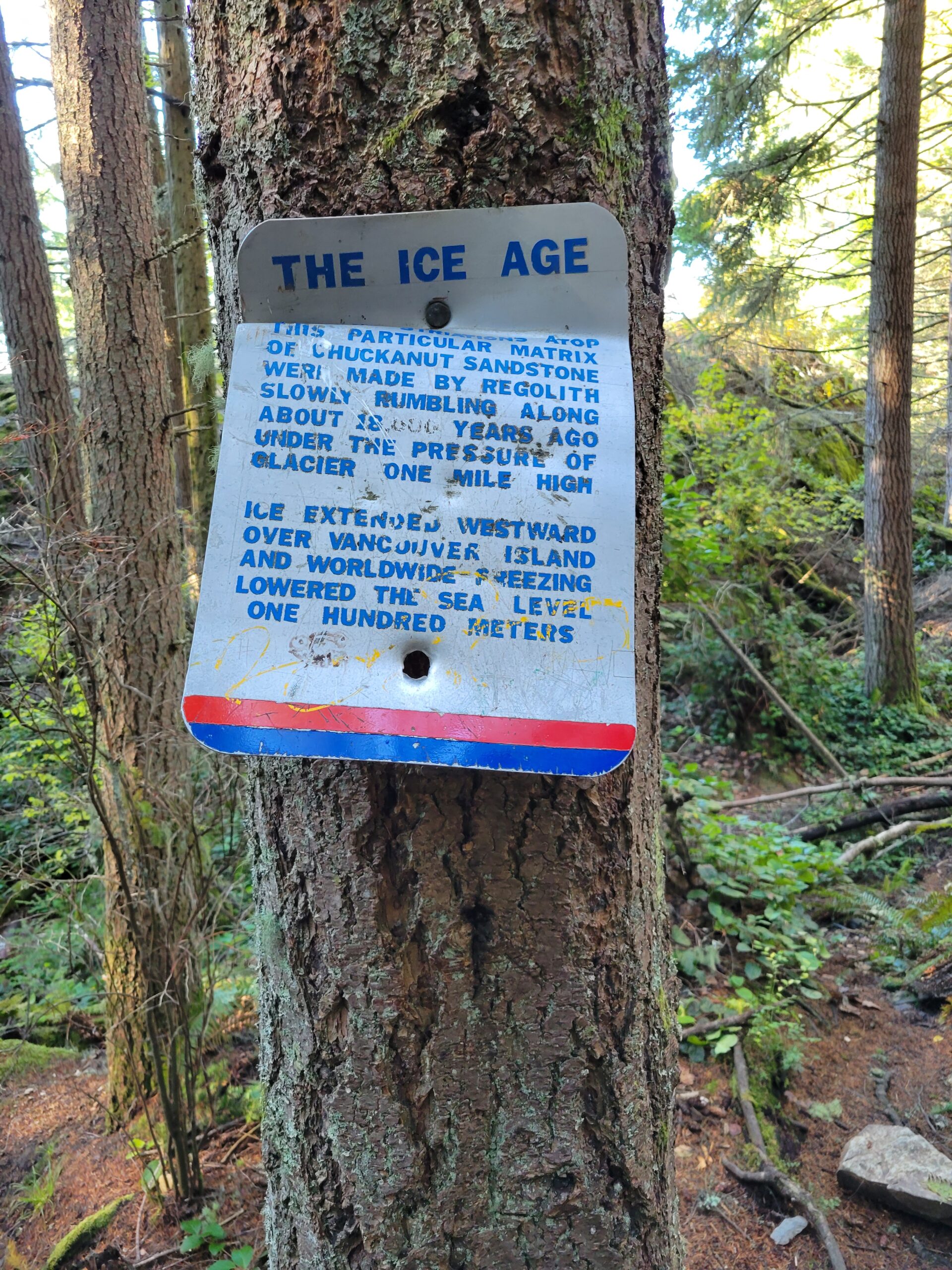
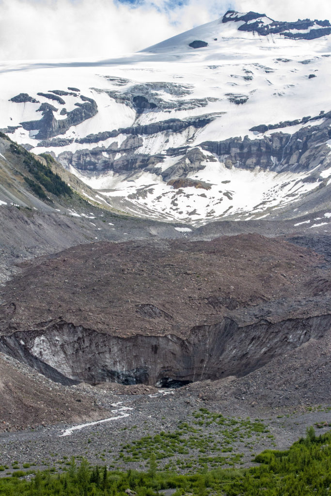
The top of Mount Si is made up of metamorphic rock that was once igneous rock formed beneath the ocean 150 million years ago. The valley below, unsurprisingly, was carved by glaciers. Nick Zentner, as always, does a great job explaining the geology in more detail. You will be dropping “metagabbro” into conversations at your next party. You’re welcome.

For all its reputation as Seattle’s crowded proving ground for hikers, Mount Si still manages to deliver. Ancient forests, sweeping views, deep geologic history, and just enough exertion to get you ready for more demanding and scenic hikes in the Cascade Range.

Eastern Washington

I continue to be inspired by the stunning beauty, cataclysmic geology and agricultural productivity of Eastern Washington. Apples and cherries continue to be leading crops, but many people do not know that this region produces 75% of the nation’s hops, and it is also the 2nd largest producer of premium wine. Great beer, wine and scenery? Sold.

If you love geology, I highly recommend checking out Nick Zentner. He teaches at Washington State University and lives in Ellensburg. Whether you find yourself in Olympic National Park, Cascades, or the Missoula floodplain, Nick can certainly put the vast expanse of time and change in perspective via his podcast, PBS, or other streams of content.

Just a few scenes from the East Side. Click the thumbnails for a larger view.

Tahoma (Mount Rainier) National Park

For anyone who lives in the greater Seattle region, Mount Rainier (or maybe it is time for Tahoma National Park?) is a spectacle to behold. “She’s out” is a common refrain from Seattle/Tacoma residents when the weather is nice. The mountain dominates the horizon, and while majestic, poses a significant risk to an ever increasing population.

Considered a dormant active volcano, it is believed to have erupted as recently as the late 1800s. The mountain averages 30 small earthquakes per year, and there is geothermal activity around the crater that will rid its rim of snow not long after a snowstorm. More incredible are the mind boggling sizes of past mudflows that have raced down her flanks at speeds of 50mph and as high as almost 500 feet. Ancient forests have been found buried deep below the surface. And these flows have made it all the way to Puget Sound.

Glacial activity on Rainier continues to sculpt the landscape – and swallow the occasional climber. There are a total of 25 glaciers on the mountains, and the volume of snow and glacier ice is equivalent to that of all the other Cascade Range volcanoes combined. You could fill T-Mobile Park stadium in Seattle 2600 times.

Emmons Glacier is on the northeast flank of Mount Rainier, in Washington. At 4.3 sq mi, it has the largest surface area of any glacier in the contiguous United States. Photo by Robert Payne

Take the time to learn more about the impressive geology that has shaped greater Seattle and this mountain into what it is today. It will make you feel small and insignificant, but you will be a better person for it.

While Rainier continues to stew in her own juices and whisper to the underworld for direction on her next great show, we get to explore her flanks and marvel at the sheer magnitude of this 14,411 foot peak that rises some 3 miles above greater Seattle.

Photo by Robert Payne

See you out there…