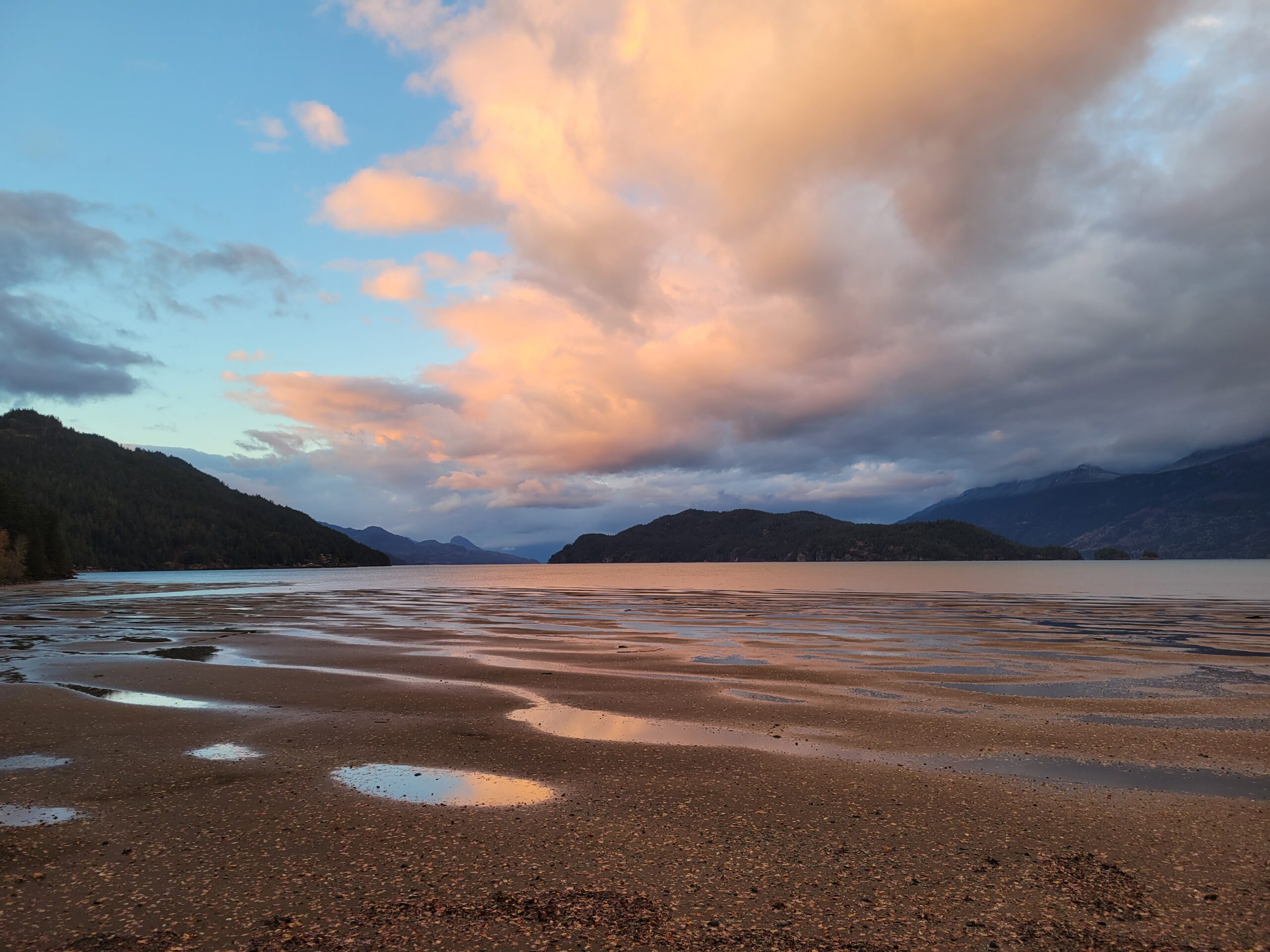
Every photographer should have a 10-stop neutral density (ND) filter to cut the light entering your camera lens by a factor of 1,000, allowing you to use very slow shutter speeds in bright daylight.


Every photographer should have a 10-stop neutral density (ND) filter to cut the light entering your camera lens by a factor of 1,000, allowing you to use very slow shutter speeds in bright daylight.


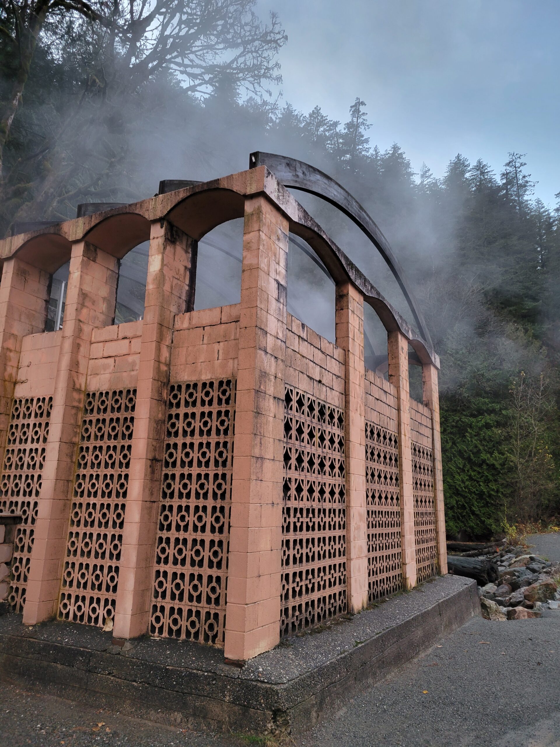
A nice little jaunt from Seattle across the border to Canada and up through the Fraser Valley to Harrison Hot Springs. Feels a little bit like a throw back to the 1920s, but the pools are varied in temperature and relaxing, and there are plenty of lodging and food options.
The Village of Harrison Hot Springs has been a small resort community since 1886 when the opening of the Canadian Pacific Railway brought the lakeside springs within a short carriage ride of the transcontinental mainline. In its first promotion as a resort it was known as St. Alice’s Well, although Europeans had discovered it (not new to indigenous communities) decades earlier when a party of goldfield-bound travelers on Harrison Lake capsized into what they thought was their doom, only to discover the lake at that spot was not freezing, but warm.
Starting in November, over 35,000 eagles will pass through the lower Fraser Valley until February, with thousands of the birds accumulating on Harrison River daily to feast on spawning salmon. White Trumpeter Swans also winter in the valley.
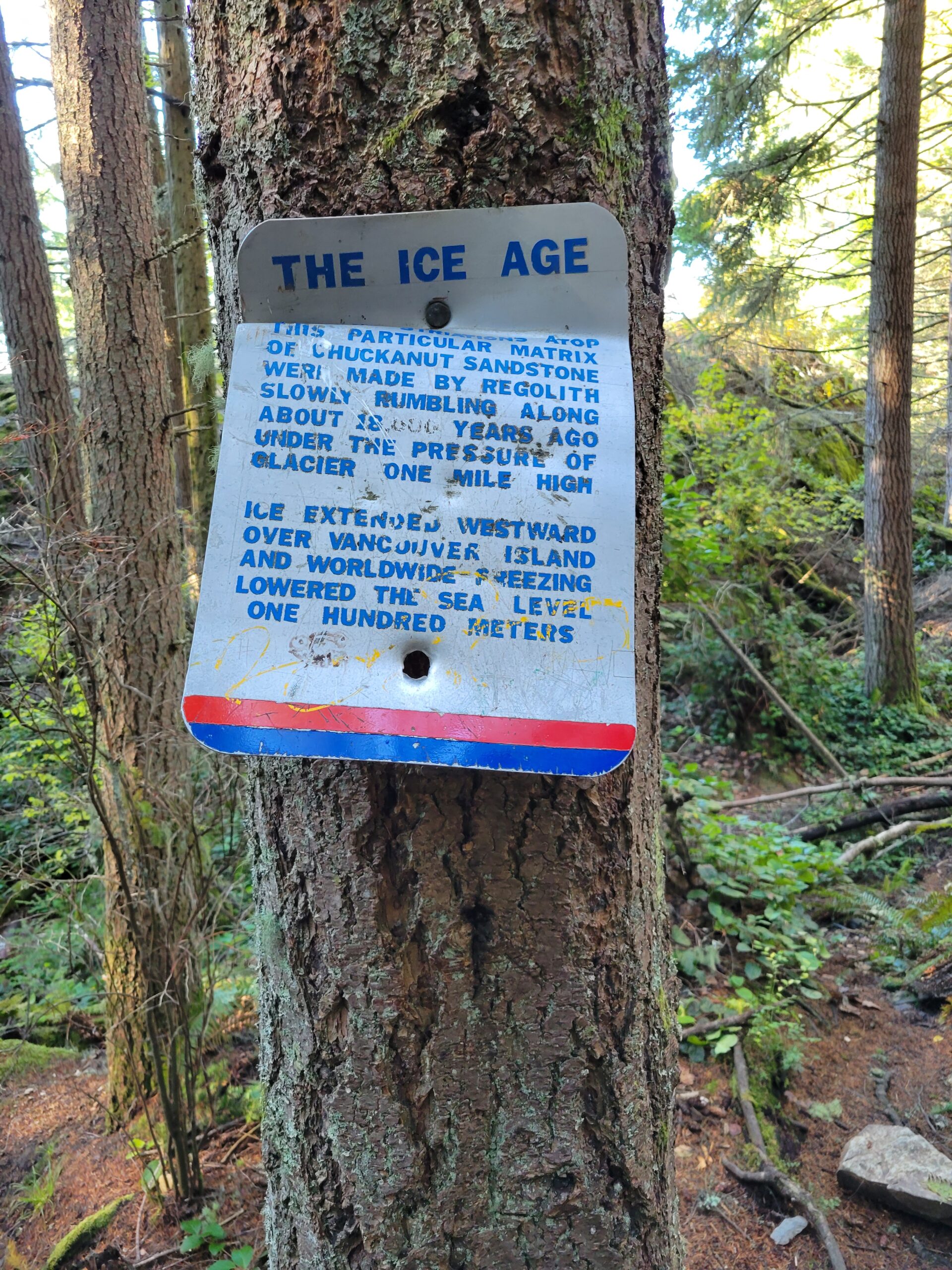
The Chuckanut Mountains, or Chuckanuts, are located on the northern Washington state coast of the Salish Sea, just south of Bellingham, Washington. Being a part of the Cascade Range, they are the only place where the Cascades come west down to meet the sea.

About this same time, the ice would have been 3x the height of the Space Needle in downtown Seattle.
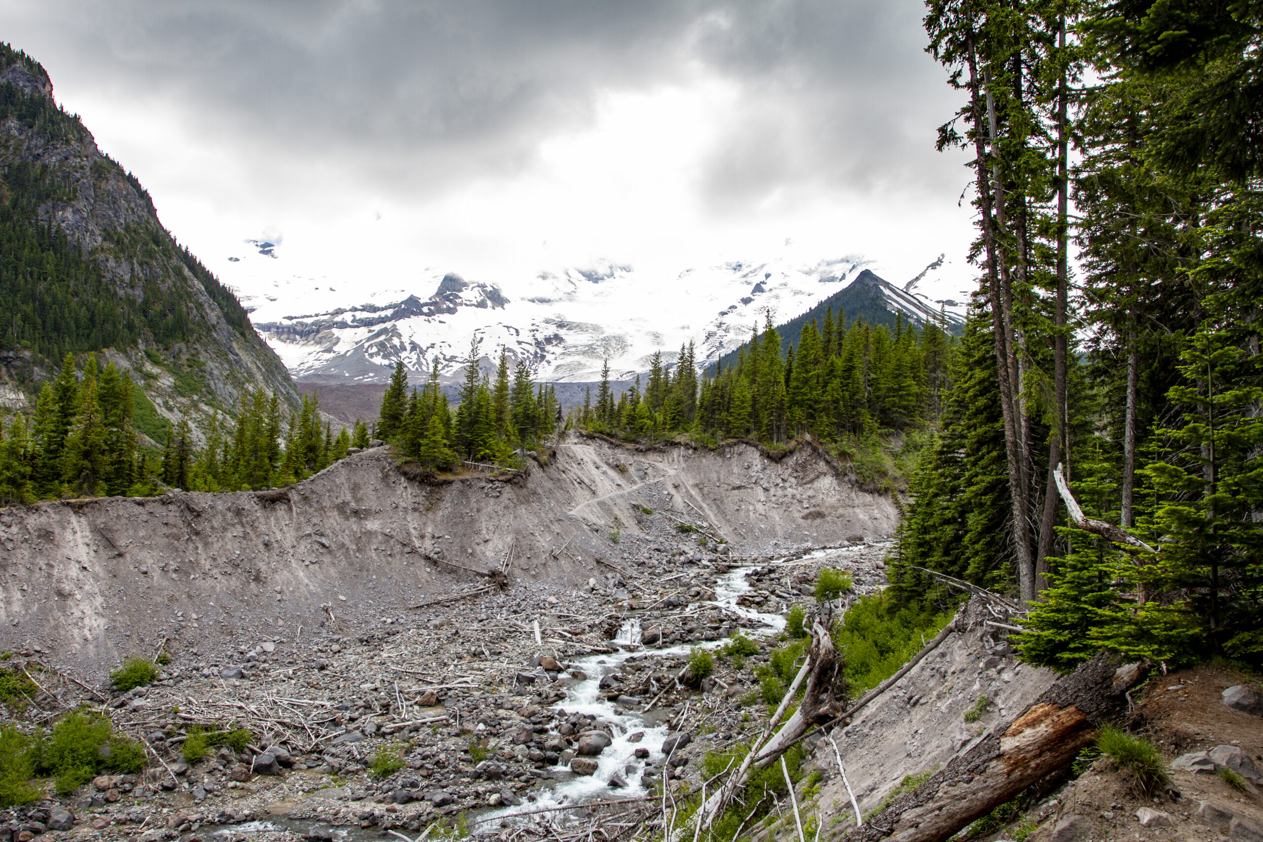
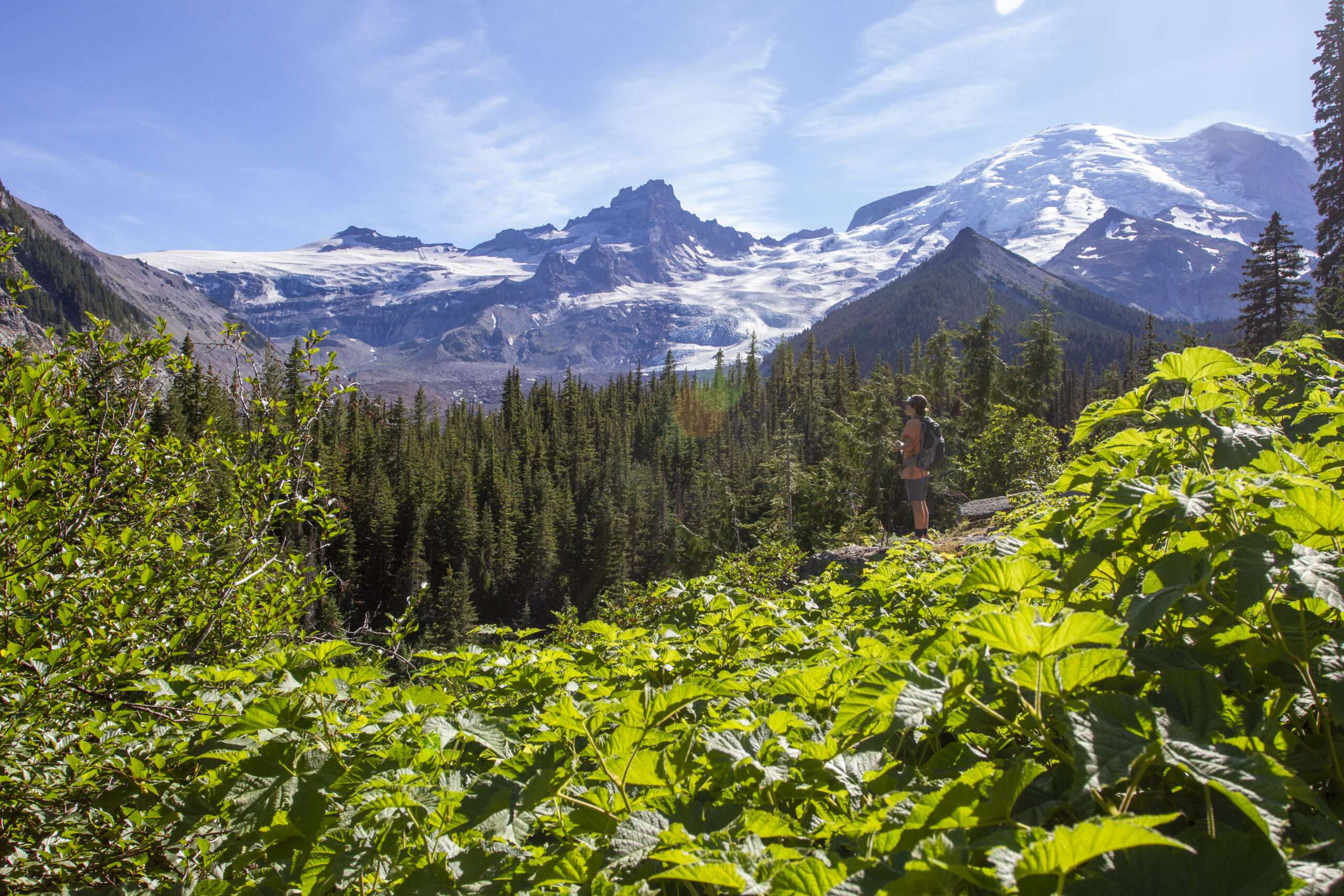
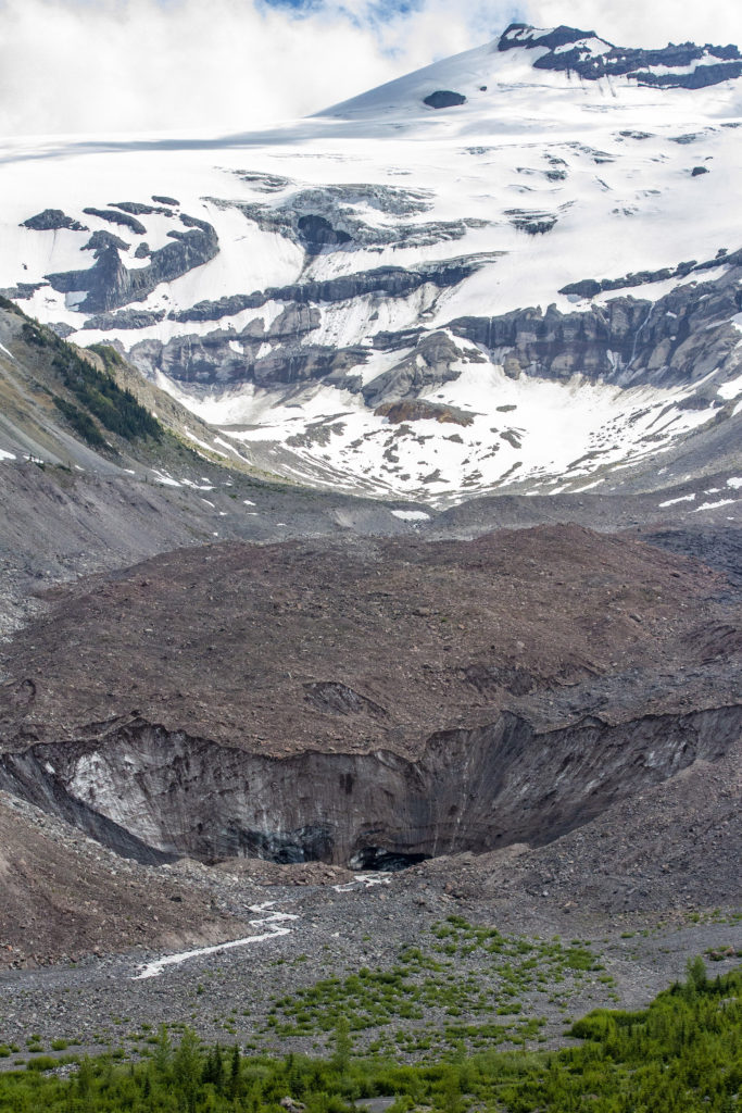
I love returning to the Glacier Basin Trail because it offers incredible views of Emmons Glacier, the largest sheet of ice on Mount Rainier, and a milky blue-green glacial lake below. It is also a powerful example of global warming, and the dramatic retreat of ice. As you hike along the White River, you can observe the scale of the erosive powers of the mountain. The stark line between the trees and the raw river bank towers above you, and illustrates how destructive the raging mud and water once was as it swept through the canyon.


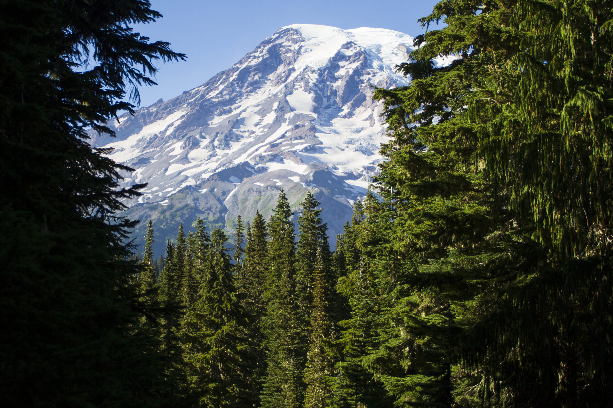
For anyone who lives in the greater Seattle region, Mount Rainier (or maybe it is time for Tahoma National Park?) is a spectacle to behold. “She’s out” is a common refrain from Seattle/Tacoma residents when the weather is nice. The mountain dominates the horizon, and while majestic, poses a significant risk to an ever increasing population.
Considered a dormant active volcano, it is believed to have erupted as recently as the late 1800s. The mountain averages 30 small earthquakes per year, and there is geothermal activity around the crater that will rid its rim of snow not long after a snowstorm. More incredible are the mind boggling sizes of past mudflows that have raced down her flanks at speeds of 50mph and as high as almost 500 feet. Ancient forests have been found buried deep below the surface. And these flows have made it all the way to Puget Sound.
Glacial activity on Rainier continues to sculpt the landscape – and swallow the occasional climber. There are a total of 25 glaciers on the mountains, and the volume of snow and glacier ice is equivalent to that of all the other Cascade Range volcanoes combined. You could fill T-Mobile Park stadium in Seattle 2600 times.

Take the time to learn more about the impressive geology that has shaped greater Seattle and this mountain into what it is today. It will make you feel small and insignificant, but you will be a better person for it.
While Rainier continues to stew in her own juices and whisper to the underworld for direction on her next great show, we get to explore her flanks and marvel at the sheer magnitude of this 14,411 foot peak that rises some 3 miles above greater Seattle.


See you out there…