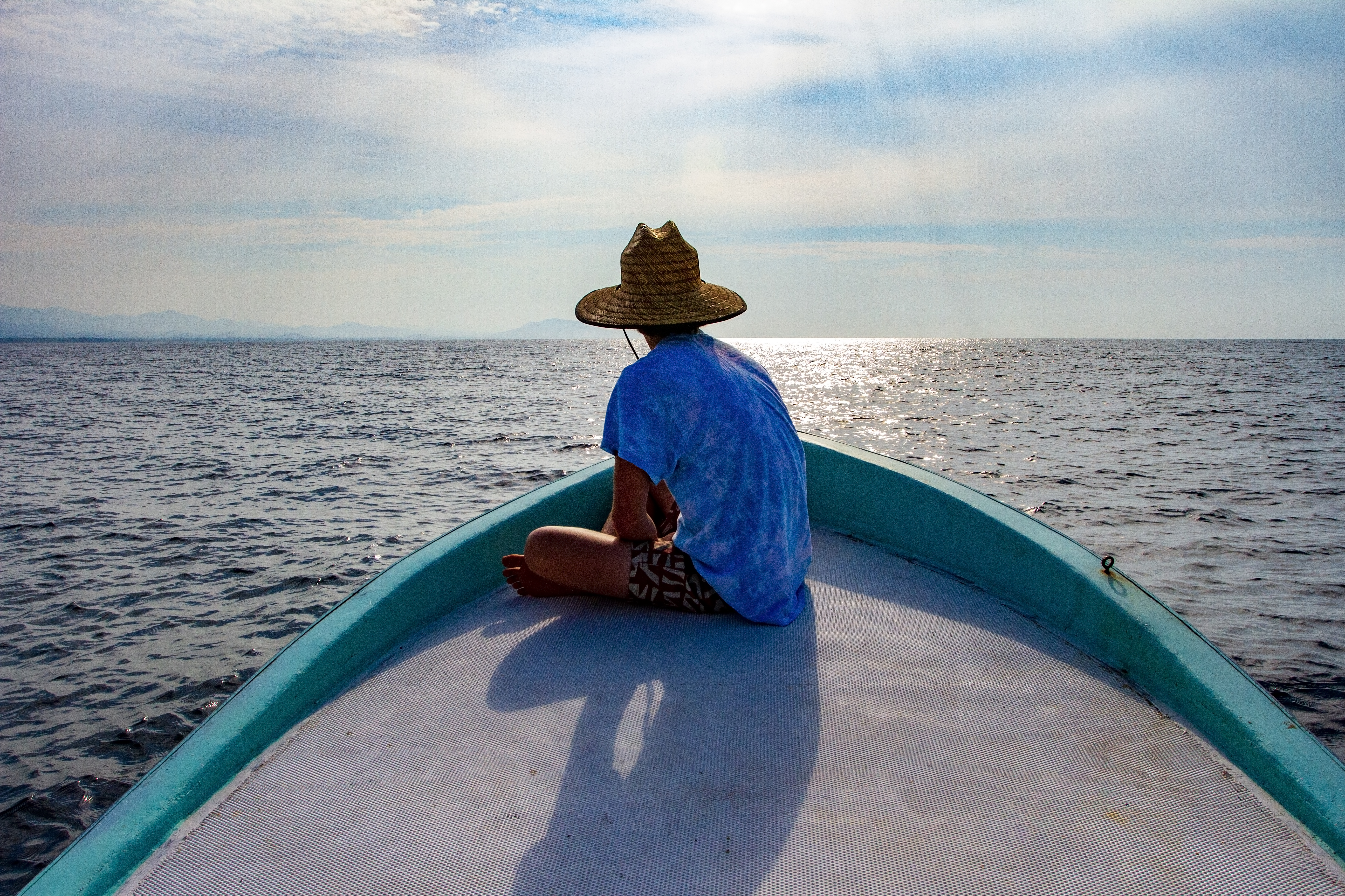
Most days were spent surfing the river mouth or point break, but there was plenty of local color to be had where “the ocean has no memory.”

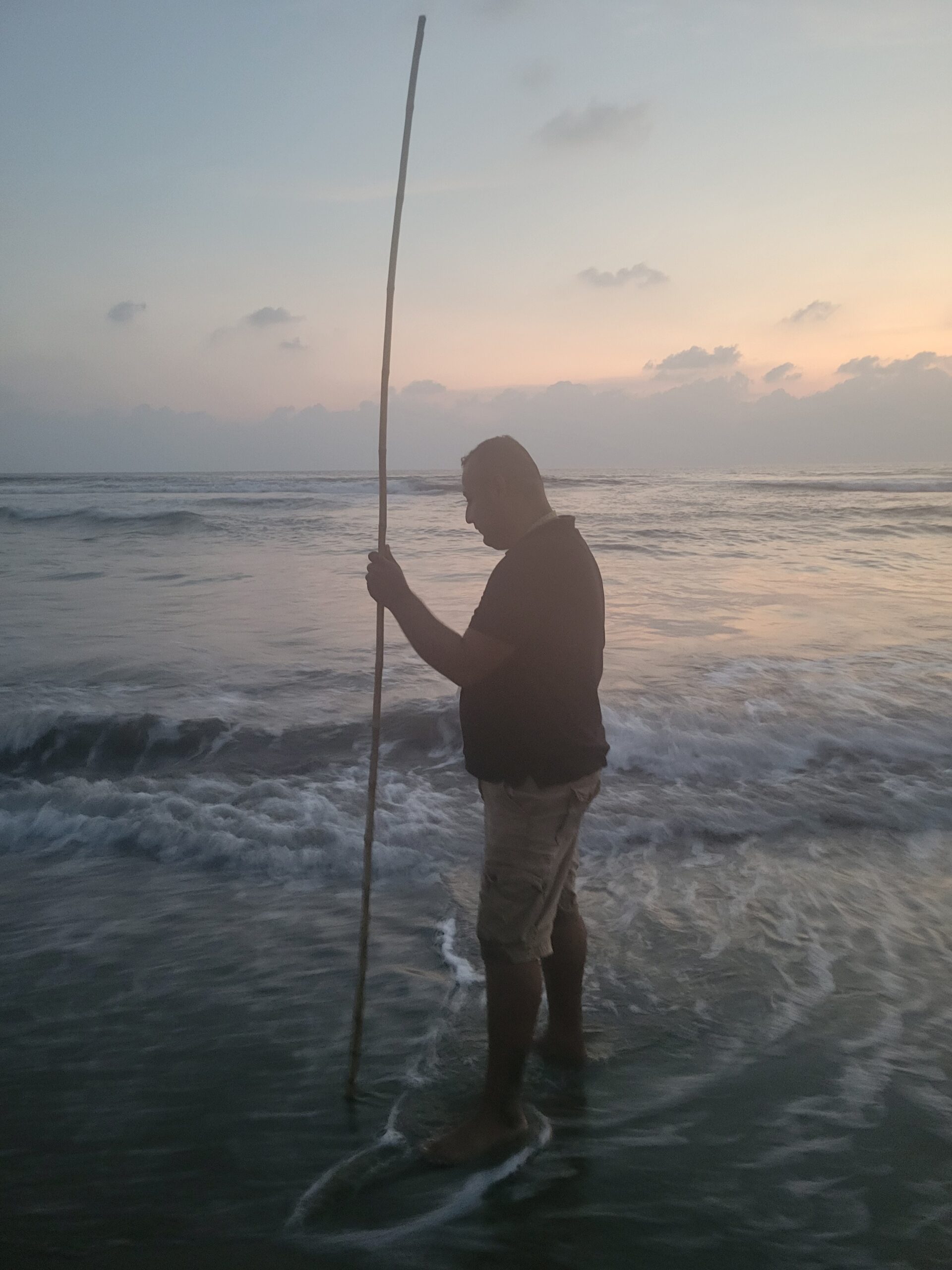

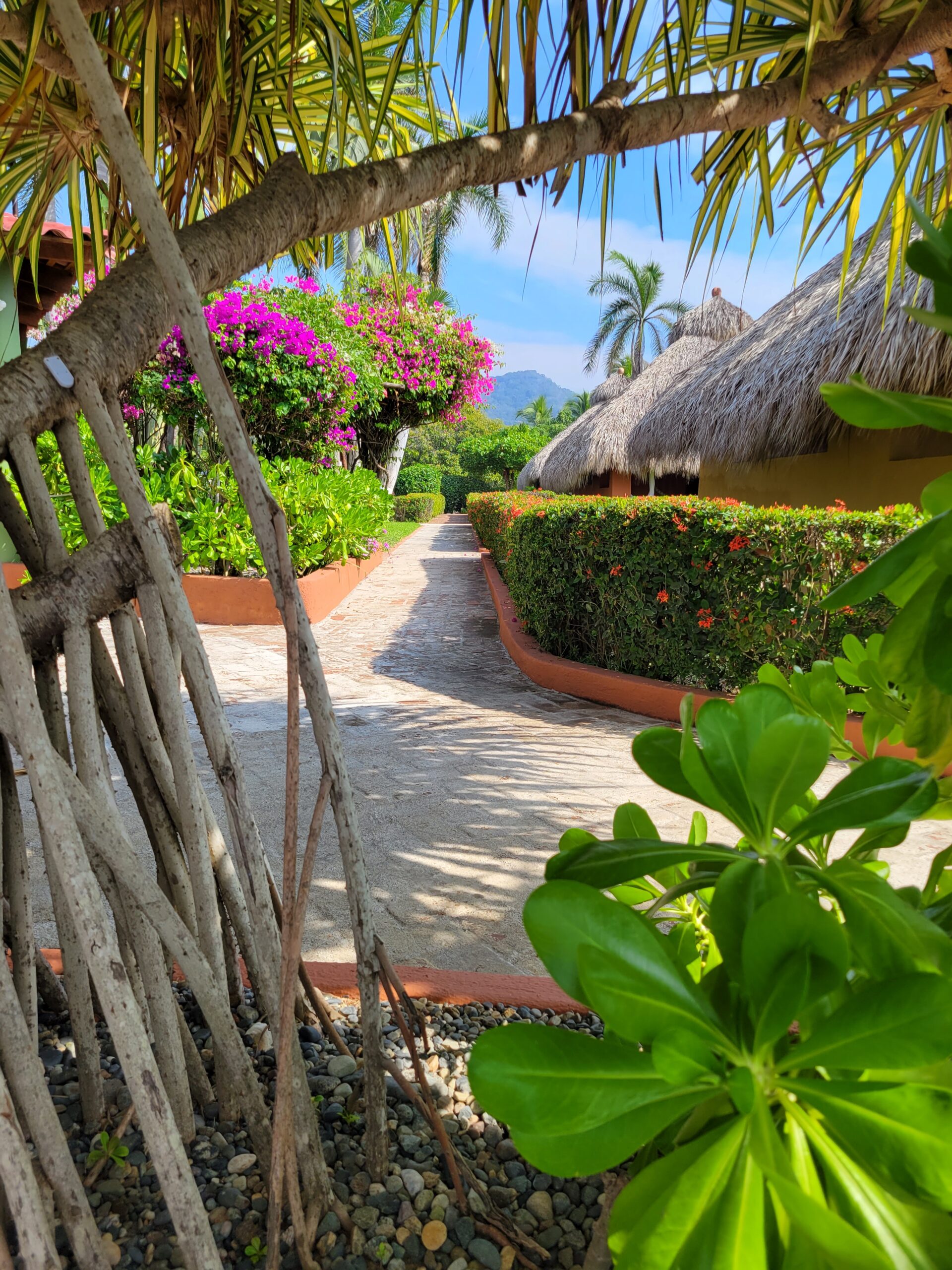



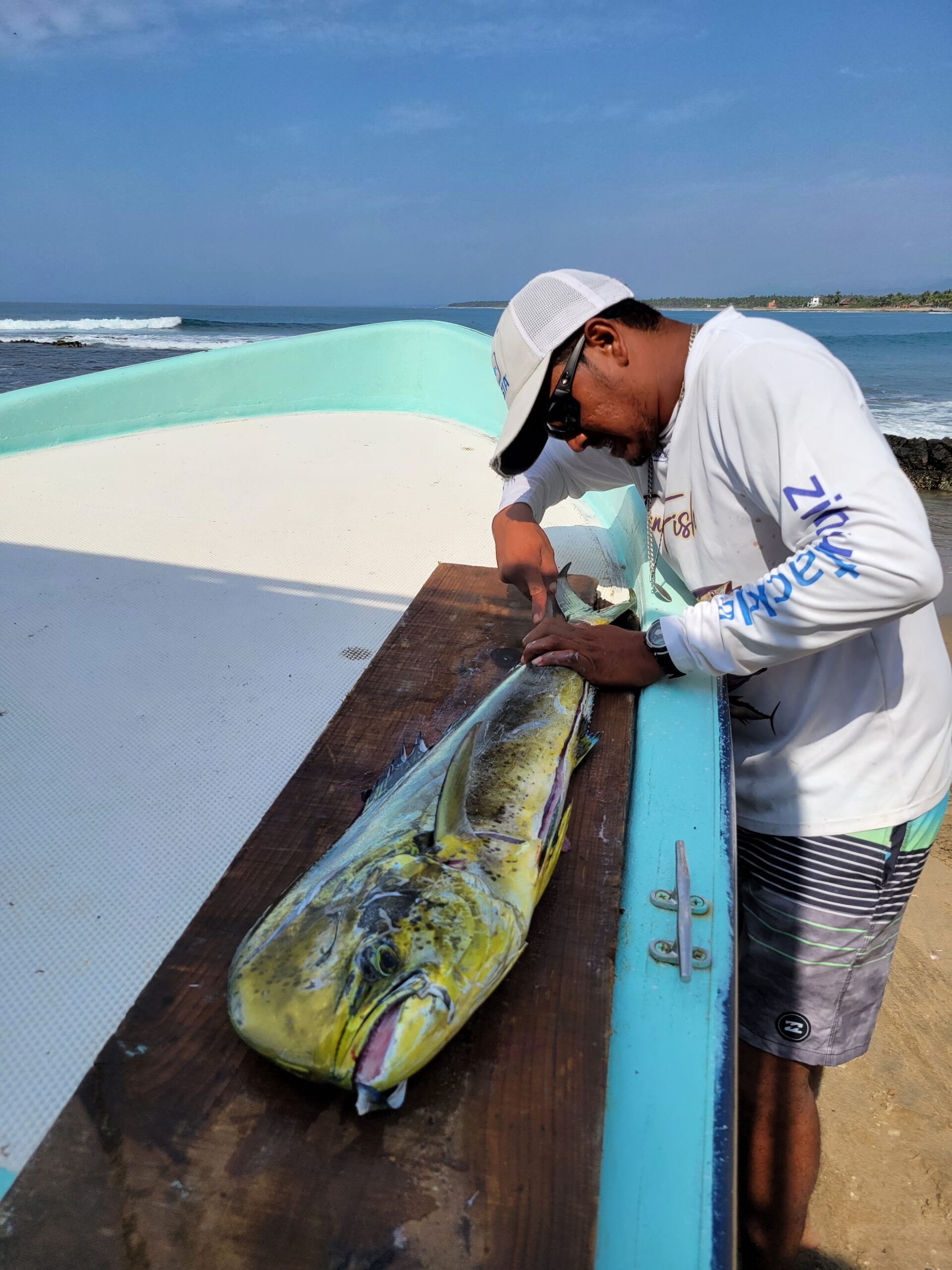
Most days were spent surfing the river mouth or point break, but there was plenty of local color to be had where “the ocean has no memory.”
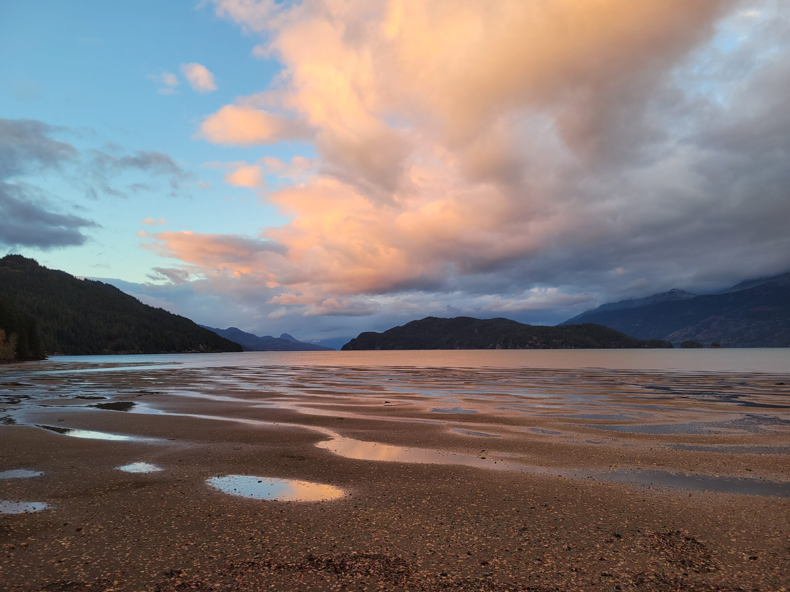
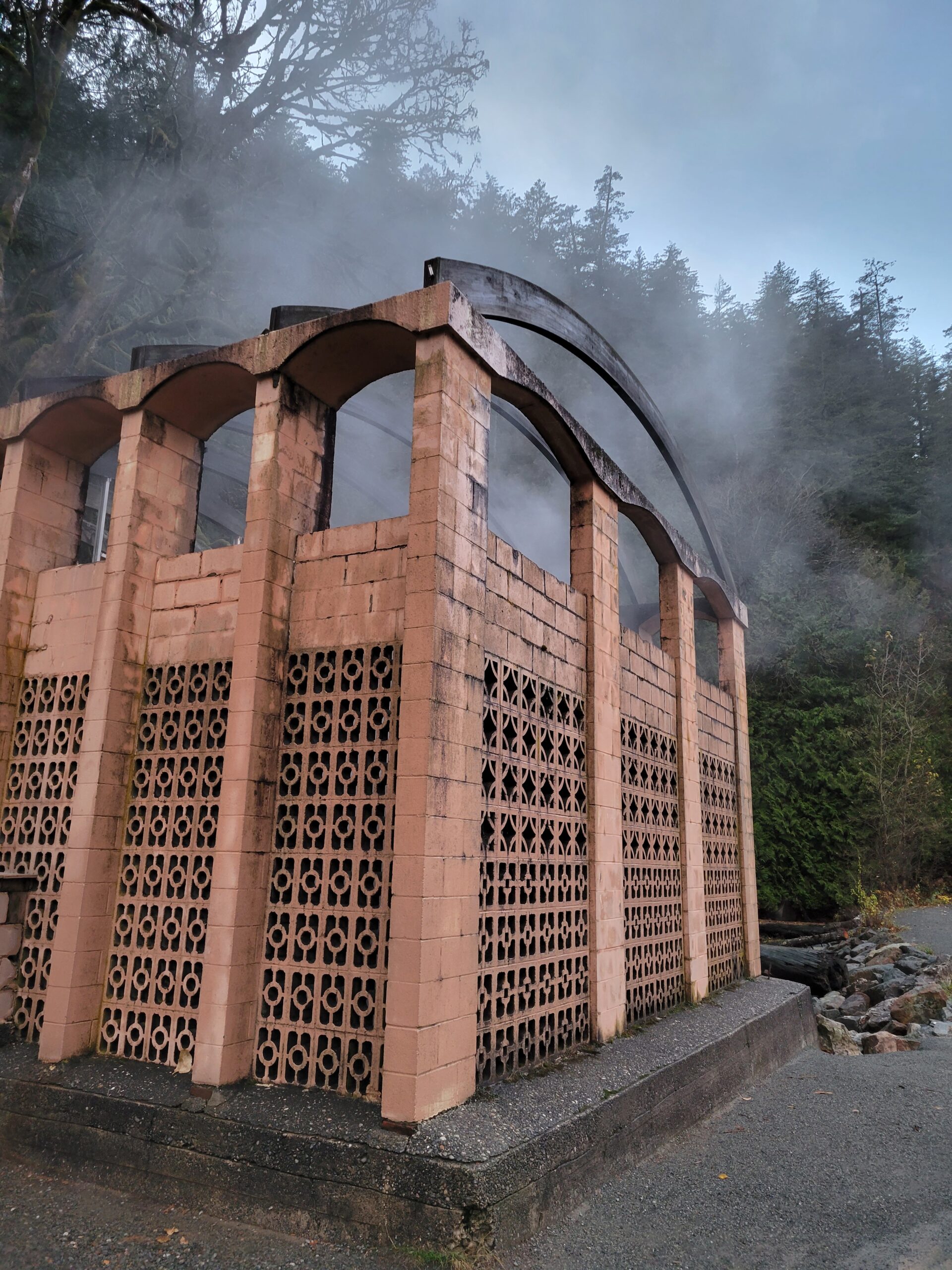
A nice little jaunt from Seattle across the border to Canada and up through the Fraser Valley to Harrison Hot Springs. Feels a little bit like a throw back to the 1920s, but the pools are varied in temperature and relaxing, and there are plenty of lodging and food options.
The Village of Harrison Hot Springs has been a small resort community since 1886 when the opening of the Canadian Pacific Railway brought the lakeside springs within a short carriage ride of the transcontinental mainline. In its first promotion as a resort it was known as St. Alice’s Well, although Europeans had discovered it (not new to indigenous communities) decades earlier when a party of goldfield-bound travelers on Harrison Lake capsized into what they thought was their doom, only to discover the lake at that spot was not freezing, but warm.
Starting in November, over 35,000 eagles will pass through the lower Fraser Valley until February, with thousands of the birds accumulating on Harrison River daily to feast on spawning salmon. White Trumpeter Swans also winter in the valley.
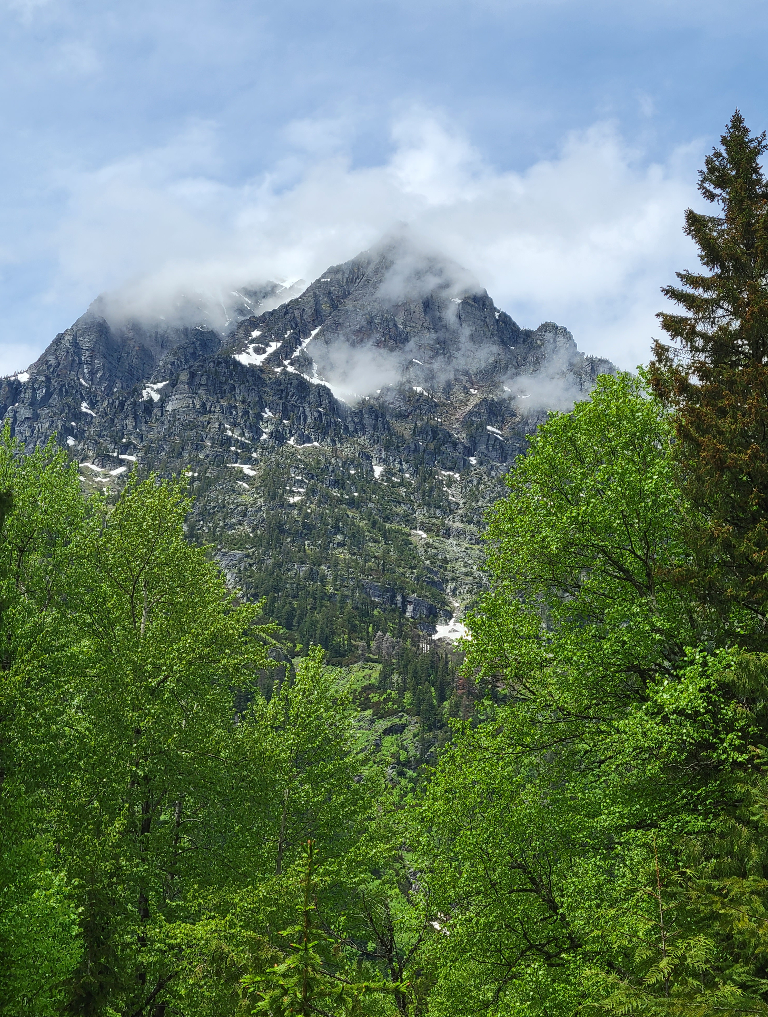
The Chuckanut Mountains, or Chuckanuts, are located on the northern Washington state coast of the Salish Sea, just south of Bellingham, Washington. Being a part of the Cascade Range, they are the only place where the Cascades come west down to meet the sea.
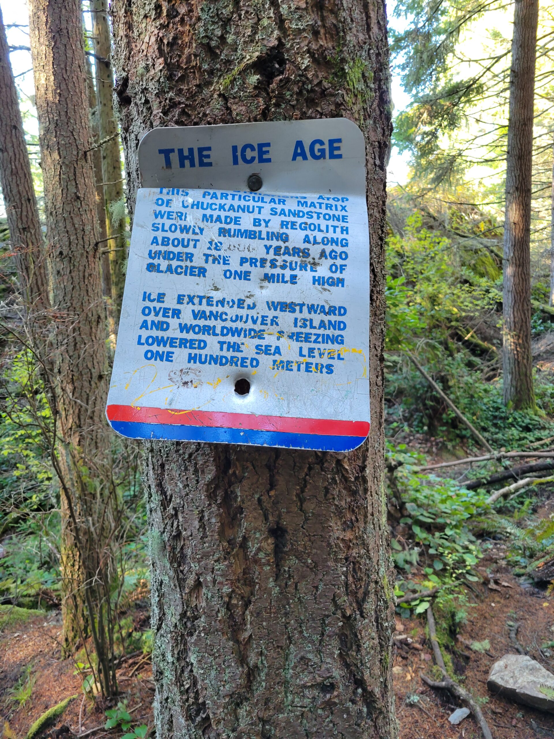
About this same time, the ice would have been 3x the height of the Space Needle in downtown Seattle.
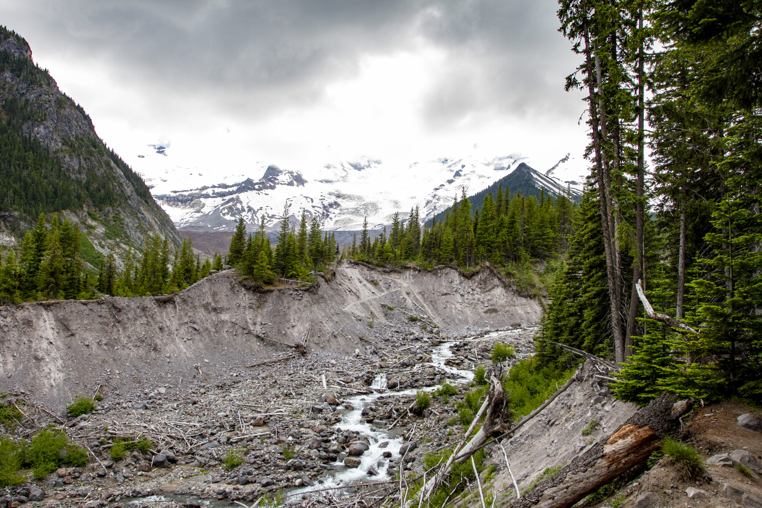
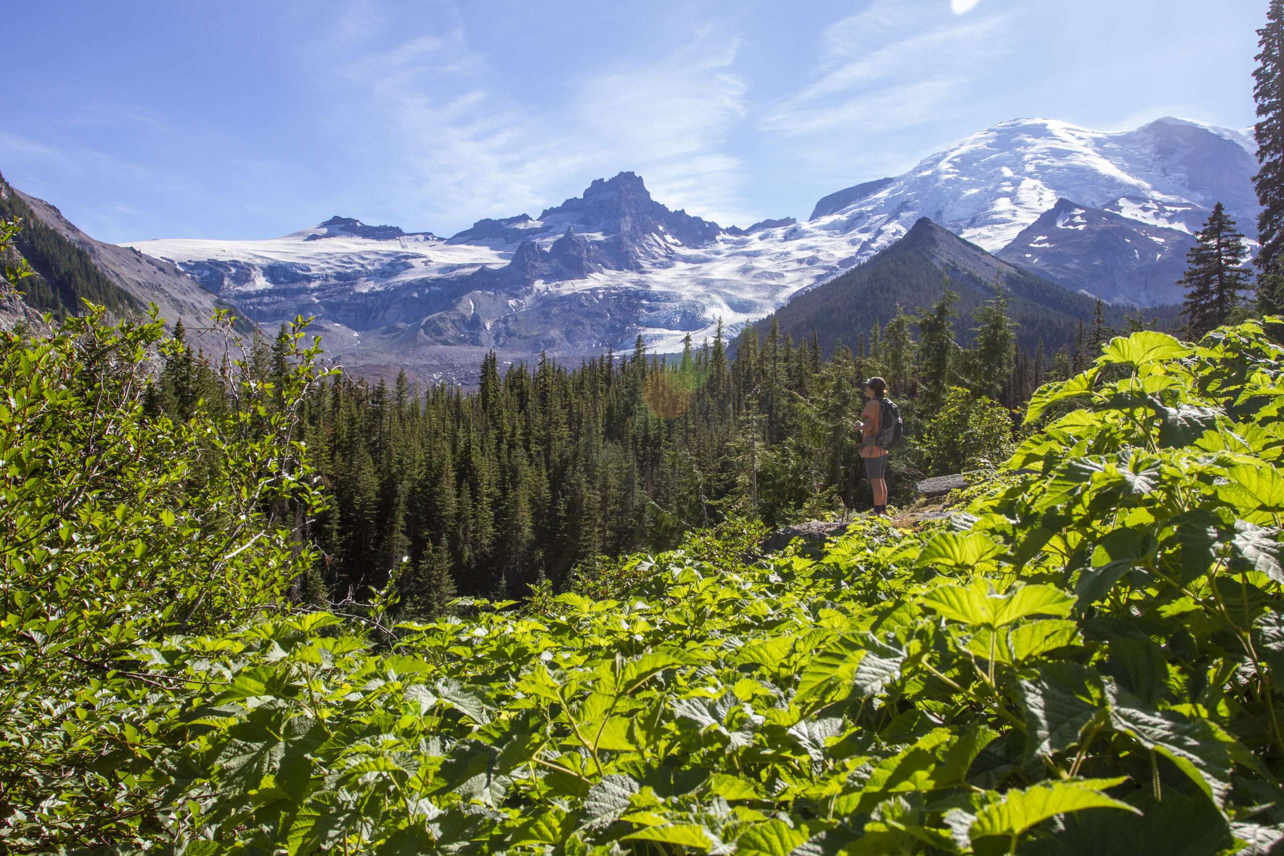
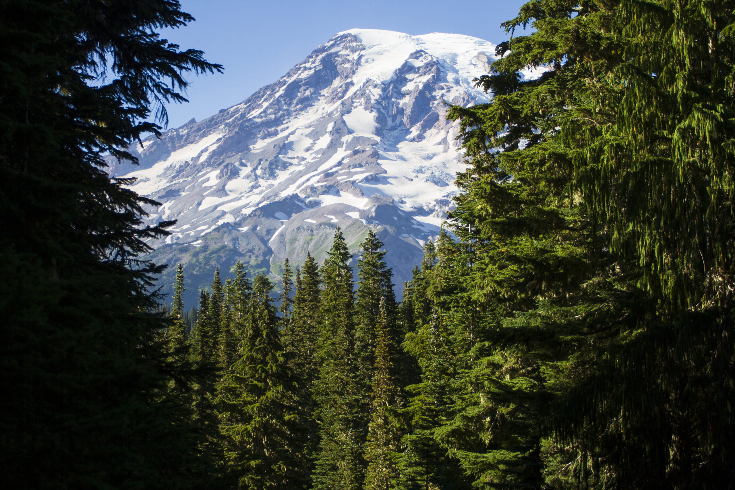
I love returning to the Glacier Basin Trail because it offers incredible views of Emmons Glacier, the largest sheet of ice on Mount Rainier, and a milky blue-green glacial lake below. It is also a powerful example of global warming, and the dramatic retreat of ice. As you hike along the White River, you can observe the scale of the erosive powers of the mountain. The stark line between the trees and the raw river bank towers above you, and illustrates how destructive the raging mud and water once was as it swept through the canyon.